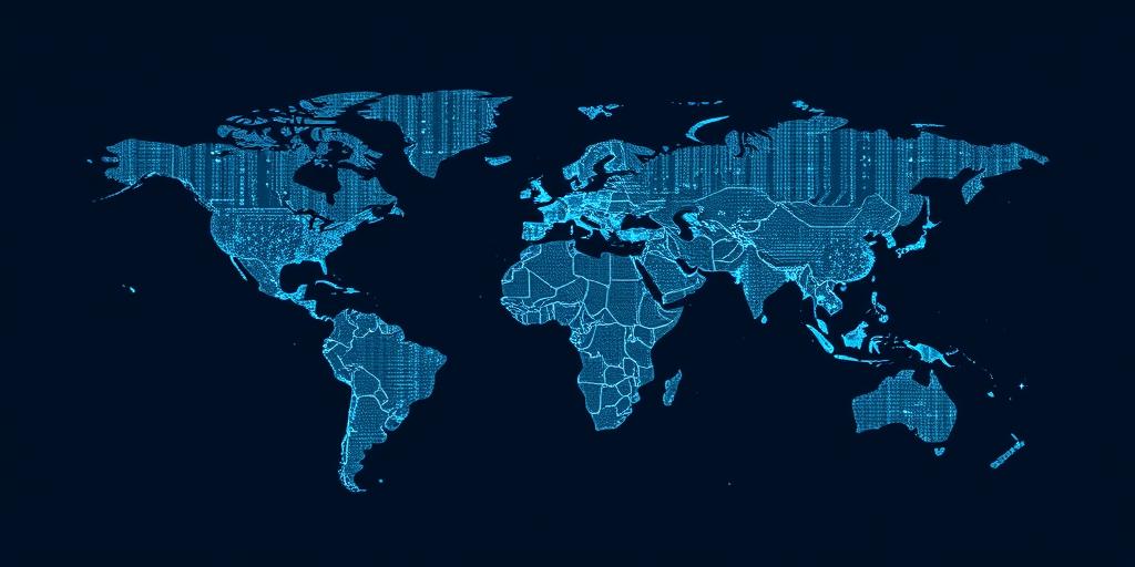
Satellite Technology for Monitoring Conflict
Satellite technology plays a crucial role in monitoring conflict zones, providing valuable data and insights for various stakeholders. These technologies offer capabilities that are essential for understanding and addressing conflicts effectively.
Key Applications of Satellite Technology in Conflict Monitoring
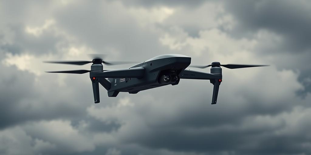
- Surveillance and Reconnaissance:
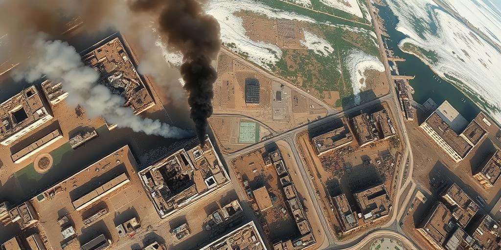
- Satellites equipped with high-resolution cameras can capture detailed images of conflict areas, enabling the identification of troop movements, military installations, and infrastructure damage.
- Synthetic Aperture Radar (SAR) technology can penetrate clouds and darkness, providing imagery in all weather conditions, which is particularly useful in regions with persistent cloud cover.
- Early Warning Systems:
- Satellite data can be used to detect early warning signs of potential conflicts, such as mass migrations, the build-up of military forces, and changes in land use patterns.
- By analyzing historical data and current trends, analysts can identify areas at risk of conflict and provide timely warnings to prevent escalation.
- Humanitarian Aid and Disaster Response:
- Satellite imagery can assist in assessing the needs of populations affected by conflict, such as food shortages, displacement, and damage to essential infrastructure.
- This information can be used to coordinate humanitarian aid efforts, ensuring that resources are directed to the areas where they are needed most.
- Monitoring Ceasefires and Peace Agreements:
- Satellites can verify compliance with ceasefire agreements by monitoring troop deployments, the movement of heavy weapons, and the establishment of buffer zones.
- This capability helps to build trust between conflicting parties and ensures that peace agreements are upheld.
- Environmental Monitoring:
- Conflicts can have significant environmental consequences, such as deforestation, pollution, and the destruction of natural resources.
- Satellites can monitor these impacts, providing data to support environmental remediation efforts and prevent further damage.
Challenges and Limitations
While satellite technology offers significant advantages for conflict monitoring, there are also challenges and limitations to consider:
- Cost:
- Acquiring and processing satellite imagery can be expensive, particularly for high-resolution data.
- This cost can be a barrier for organizations with limited resources.
- Data Availability:
- Access to satellite imagery may be restricted due to security concerns or proprietary rights.
- This can limit the ability of researchers and analysts to conduct independent assessments.
- Image Interpretation:
- Interpreting satellite imagery requires specialized expertise, including knowledge of remote sensing techniques and conflict dynamics.
- Errors in interpretation can lead to inaccurate assessments and misguided decisions.
- Privacy Concerns:
- The use of satellite technology for surveillance raises privacy concerns, particularly in areas where civilian populations are affected by conflict.
- It is important to ensure that satellite data is used responsibly and ethically, with appropriate safeguards to protect individual privacy.
Satellite technology provides critical tools for monitoring conflict, supporting humanitarian efforts, and promoting peace and security. Despite the challenges and limitations, the benefits of these technologies far outweigh the drawbacks, making them an indispensable asset for understanding and addressing conflicts around the world.