
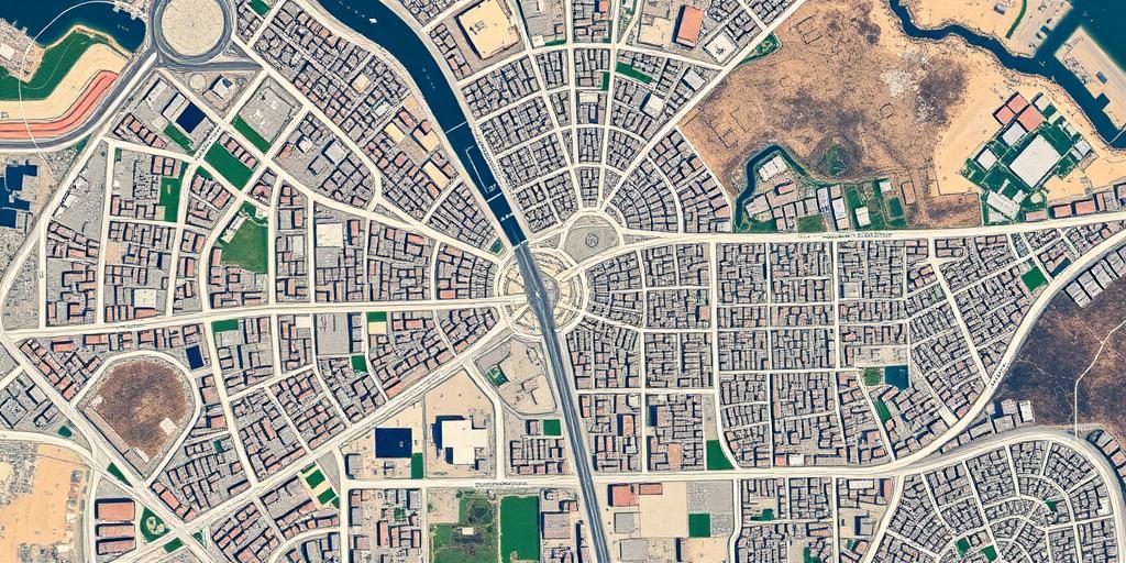
Geospatial intelligence (GEOINT) has become an indispensable tool in conflict analysis, providing critical insights into the dynamics of armed conflicts, humanitarian crises, and security challenges. By leveraging satellite imagery, geographic information systems (GIS), and other geospatial technologies, analysts can gain a deeper understanding of the spatial dimensions of conflict, enabling more informed decision-making and effective response strategies.
Understanding Geospatial Intelligence Geospatial intelligence involves the collection, analysis, and interpretation of geographic data to describe, assess, and visually depict physical features and geographically referenced activities on Earth. In the context of conflict analysis, GEOINT provides a comprehensive view of the battlespace, including terrain analysis, infrastructure mapping, population distribution, and the movement of forces.
Applications of GEOINT in Conflict Analysis
- Monitoring Armed Conflicts: GEOINT enables real-time monitoring of conflict zones, providing analysts with up-to-date information on troop movements, infrastructure damage, and the impact of hostilities on civilian populations. Satellite imagery can reveal the extent of destruction, identify potential war crimes, and track the displacement of refugees.
- Humanitarian Assistance: GEOINT plays a crucial role in humanitarian relief efforts by mapping affected areas, identifying vulnerable populations, and assessing the accessibility of aid routes. GIS technology can be used to coordinate the delivery of essential supplies, establish temporary shelters, and manage refugee camps.
- Counterterrorism Operations: GEOINT supports counterterrorism efforts by providing intelligence on terrorist networks, identifying training camps, and tracking the movement of foreign fighters. Satellite imagery and aerial surveillance can be used to monitor border regions, detect illicit activities, and disrupt terrorist operations.
- Peacekeeping Operations: GEOINT is essential for peacekeeping missions, providing peacekeepers with situational awareness, mapping potential threats, and monitoring compliance with peace agreements. GIS technology can be used to delineate buffer zones, monitor ceasefires, and support conflict resolution efforts.
Challenges and Opportunities Despite its immense potential, GEOINT also faces several challenges in conflict analysis. These include data limitations, technical constraints, and ethical considerations. Limited access to high-resolution satellite imagery, particularly in remote or contested areas, can hinder the ability to conduct accurate assessments. Technical challenges, such as data processing and analysis, require specialized expertise and advanced computing capabilities.
The Future of GEOINT in Conflict Analysis As technology advances and data availability increases, the future of GEOINT in conflict analysis looks promising. The integration of artificial intelligence (AI) and machine learning (ML) is enhancing the ability to automate data processing, identify patterns, and predict future events. The proliferation of commercial satellite imagery is making GEOINT more accessible to a wider range of users, including NGOs, academic researchers, and journalists.
In conclusion, geospatial intelligence is a powerful tool for understanding and responding to conflicts around the world. By providing timely and accurate information, GEOINT enables decision-makers to make informed choices, allocate resources effectively, and ultimately, save lives. As technology continues to evolve, GEOINT will play an increasingly important role in promoting peace and security in an ever-changing world.


